ROGII
University
We offer a variety of courses from beginner to pro that will help you obtain industry knowledge and set you above the rest.


Webinar Alert: StarSteer 2025.3
StarSteer 2025.3 has arrived. Join us to learn what’s new.
- Auto-calculated Logs
- Multi-lateral Stick Planning
- Mapping with Faults
and more!


Webinar Alert: Top 10 ROGII Features of 2025
Kick off the new year with a live demo of the Top 10 product updates across the Solo ecosystem in 2025.We’ll walk you through the most significant new features, including the launch of Solo Data Factory in Data Manager, which provides direct access to public well data across the U.S. and Canada from day one. You’ll also see our new AI assistants in action across DrillSpot, Data Manager, and the StarSteer Python script window, making everyday tasks faster and a lot easier.


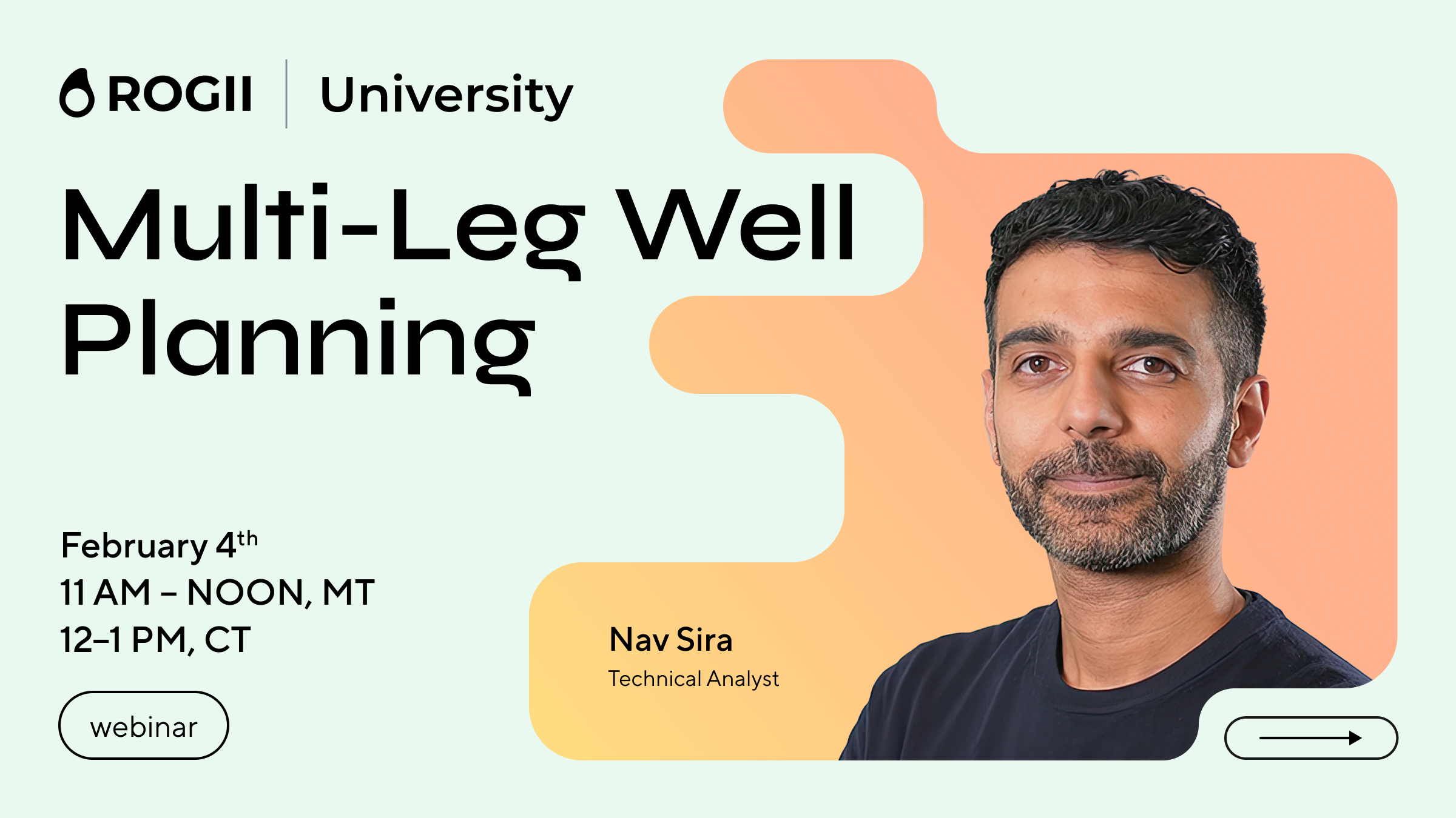
Webinar Alert - Multi-Leg Well Planning
In this session, we’ll walk through how to efficiently design and visualize multi-leg trajectories using StarSteer’s powerful Well Planning module. You’ll learn how to create multi-leg laterals, integrating existing horizontals and offset wells as well as Geological inputs like formation trends (grids).


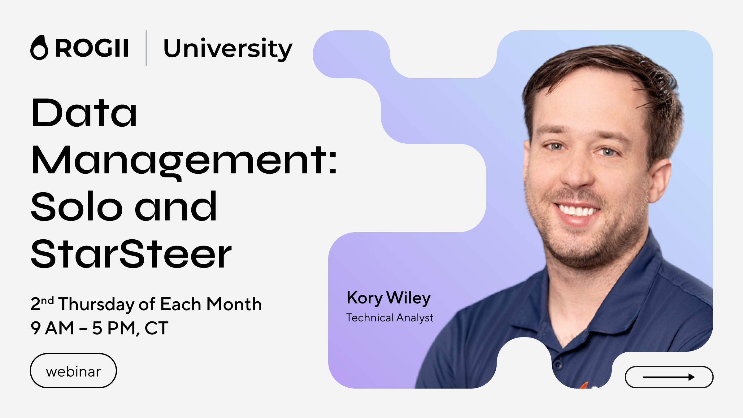
Data Management: Solo and StarSteer
Key Topics:
- Navigating and working in Solo Cloud
- Loading different Data Types into StarSteer
- Data Organization and Formatting in StarSteer
- Setting up Data Streaming through WITSML
- Exporting Data into SQL Databases


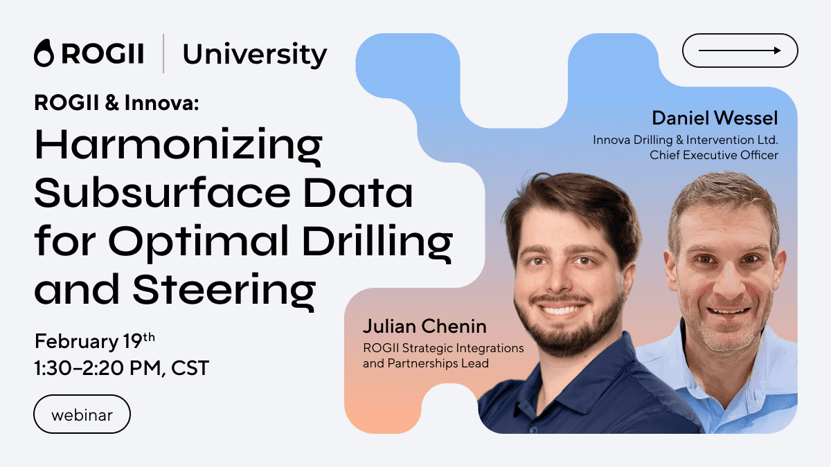
Webinar Alert: Harmonizing Subsurface Data for Optimal Drilling and Steering
Unlock a new level of collaboration between geology and drilling with Innova and ROGII. While planning a well, users can pull regulatory data from Solo Data Factory directly into Well Seeker X for streamlined anti-collision and offset well analysis. During execution, live target lines and well plan updates between Well Seeker X and StarSteer keep teams aligned, reduce errors, and support smarter well placement.


